Canterbury LiDAR Hire
The South Island’s Specialist in Drone-Based LiDAR
About us
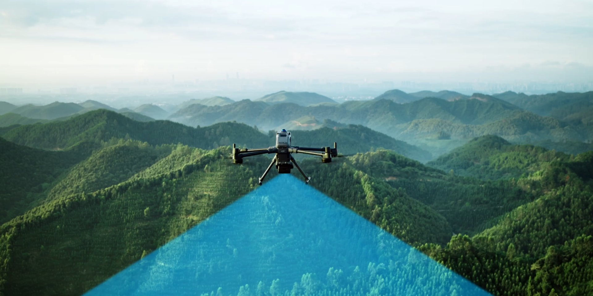
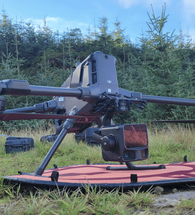
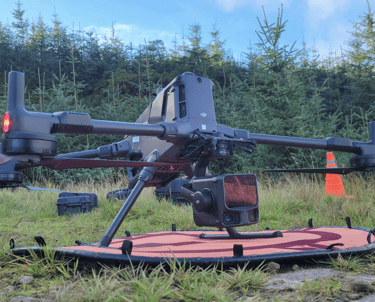
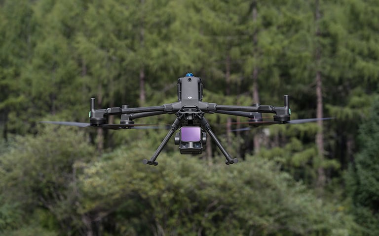
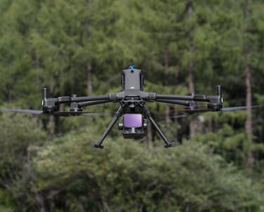
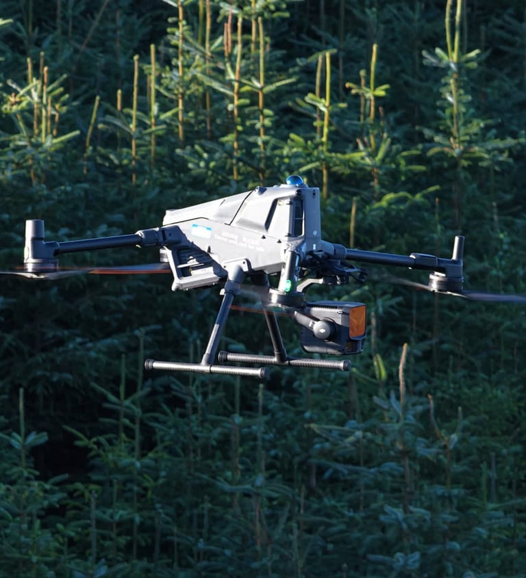
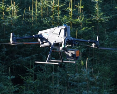
We provide high-accuracy aerial LiDAR surveying and inspection services using the DJI Matrice 400 with DJI L3 LiDAR payload. This platform enables precise 3D data capture in complex, vegetated, and hard-to-access environments — faster and safer than traditional ground surveys.
Our LiDAR services are ideal for infrastructure owners, engineers, planners, and environmental professionals requiring accurate spatial data for analysis, planning, and compliance.
Our services
We conduct LiDAR-based elevation and terrain surveys for projects requiring reliable vertical accuracy across large or challenging sites.
Asset LiDAR Inspections
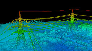

Our LiDAR asset inspection services deliver detailed 3D point clouds of critical infrastructure without the need for shutdowns or physical access.

LiDAR Elevation Surveys
We conduct LiDAR-based elevation and terrain surveys for projects requiring reliable vertical accuracy across large or challenging sites.
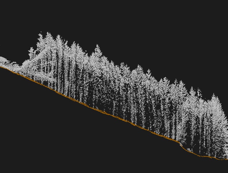
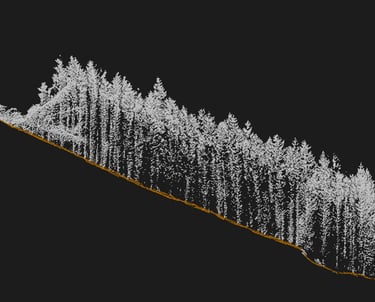
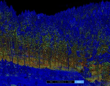
Our forestry LiDAR mapping services provide detailed insights into forest structure, terrain, and canopy metrics to support planning and environmental management.
LiDAR Forestry Mapping
We'd love to hear from you!
Whether you're after stunning aerial photography, detailed LiDAR surveys, or just want to learn more about how we can help - we’re ready to chat.
Based in Christchurch, NZ
Serving Canterbury and Beyond